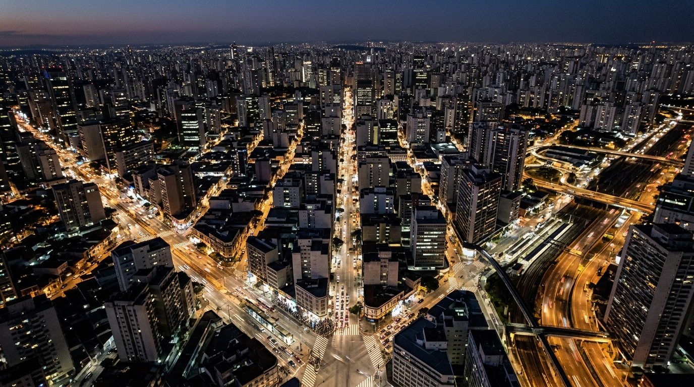
An urban digital twin is a virtual replica of a city that integrates real-time data layers (land use, mobility, infrastructure) to simulate the effect of a decision before it is executed. For Mexico, where cities grow faster than their planning frameworks can keep pace, the tool opens the possibility of making decisions based on evidence rather than intuition.
What It Is and What Is at Stake
Technically, an urban digital twin is a three-dimensional, interactive model of municipal territory, continuously fed with real information: cadastral records, traffic sensors, climate data, water and drainage networks, pedestrian flows, and building permit registries. Unlike a map or a conventional geographic information system (GIS), the twin does not merely show what exists in the city: it simulates what will happen if a variable changes.
The global market for these platforms reached $21.14 billion in 2025 and is projected to reach $149.81 billion by 2030, at an annual growth rate of 47.9 percent, according to MarketsandMarkets. That acceleration reflects the fact that local governments, not just industrial enterprises, have incorporated these platforms into their ordinary planning processes.
What is at stake is the quality of public decisions. Without an integrated model, a municipality that approves a new residential development cannot accurately calculate how many additional trips it will generate on the road network, how much water it will demand, or what shadow it will cast over neighboring properties. With a digital twin, those consequences are projected before the permit is granted.
Adopting urban digital twins requires three conditions: geospatial data with sufficient coverage, modeling platforms capable of running simulations in reasonable time, and institutional willingness for different agencies to share information under a common standard. When any one of the three fails, the system loses precision and utility.
How We Got Here and How It Works
The idea of simulating a complex system with a digital model has decades of history in the aerospace and automotive industries. The difference with a city is scale: a metropolis is a system of systems, with millions of actors and physical and social flows that change hour by hour. Translating that concept to urban territory became technically viable when the expansion of the Internet of Things (IoT), affordable sensors, advanced geographic information systems, and cloud computing reduced the cost of integrating and processing large volumes of data.
The technical process starts with geospatial data collection: LiDAR (Light Detection and Ranging) surveys, drone imagery, cadastral mapping, and administrative records from municipal services. That information is integrated into a three-dimensional modeling platform capable of running simulations under different assumptions. The questions the system answers are concrete: what happens to drainage if 80 millimeters of rain fall in one hour? How does accessibility to services change if a main avenue is closed? What is the solar impact of a 20-story building on adjacent city blocks?
Several European cities have advanced in specific use cases. Rotterdam models the effect of climate change on its infrastructure and simulates flood scenarios to prioritize resilience investments. Dublin integrates traffic, public transport, and pedestrian flow data to optimize traffic light timing and bus lanes. Rennes Métropole evaluates the impact of new real estate developments on shadow, ventilation, and energy efficiency in adjacent blocks. Barcelona, through the Barcelona Supercomputing Center, assesses whether its neighborhoods meet the 15-minute city model (in which essential services are within walking distance) and identifies areas with infrastructure deficits.
In all these cases, the twin provides compared scenarios: it does not dictate decisions, but informs them with data that were previously not integrated in a single place. That is the fundamental shift from traditional planning instruments, which gather information dispersed across different departments, in different formats, and with different update dates.
The reference framework that has gained the greatest institutional acceptance in Europe, driven by networks such as Eurocities through the vCity project, indicates that digital twins are most useful when built around a specific urban management problem (climate resilience, mobility, territorial planning) and not as generic visualization systems. That concrete orientation is what distinguishes a project with real impact from a technology demonstration.
Why This Matters for Mexico
Mexico has more than 50 metropolitan areas. Border cities like Tijuana concentrate simultaneous pressures: rapid population growth, infrastructure deficits, irregular expansion, and intense demand for services. In that context, the Metropolitan Planning Institute of Tijuana (IMPLAN) developed the pilot project known as the Urban Virtual Twin (Gemelo Virtual Urbano).
The platform integrates more than 200 layers of georeferenced information at the property level, including land use, mobility, services, urban equipment, and environmental variables. The system allows the territory to be visualized in 2D and 2.5D, with three-dimensional capabilities under development, and simulates different growth scenarios before any physical construction is carried out.
The project was recognized on June 3, 2026, with the Latam Smart City Award 2026 in the Digital Transformation category, awarded at the Smart City Expo LATAM Congress held in Puebla. Juan Diego Mascareño López, executive director of IMPLAN, accepted the award on behalf of the project.
The relevance to municipal governance is direct. Tijuana grows at a pace that outstrips the capacity of traditional planning instruments, such as urban development plans that are updated every several years. A continuously updated platform allows technical teams to evaluate land-use applications, identify risk zones, and plan the expansion of networks based on current data.
The initial pilot covers an area of at least ten square kilometers of the city, a zone in which different digital data formats and three-dimensional models of buildings and urban elements were integrated. For the development of the system, IMPLAN called on companies specializing in process engineering, simulations, and geospatial data, through an open public tender that ran from December 2024.
For municipal agencies that operate in silos (cadastre, public works, mobility, environment), the system also represents a coordination opportunity: the twin requires each area to contribute updated, standardized data, which creates incentives to improve internal records.
What Comes Next
The next step declared by IMPLAN is the definitive integration of the Urban Virtual Twin into Tijuana's formal planning instruments. This means simulations would move from being supplementary to becoming a standard part of the authorization processes for construction projects and updates to the municipal urban development plan.
The central challenge is no longer technological but one of data governance: ensuring that the different municipal agencies contribute updated information in compatible formats. Without that inter-agency coordination, the system loses precision and, with it, practical utility.
At the national scale, Tijuana's experience can serve as a reference for other municipalities. The ecosystem of metropolitan planning institutes (IMPLANes) in cities such as Monterrey, Guadalajara, León, and Mérida has the institutional conditions to develop equivalent tools. The National Territorial Planning and Urban Development Program does not yet include explicit mandates on the adoption of digital twins, although the technical context for advancing in that direction is becoming increasingly clear.
The determining factor in the coming years will be access to updated cadastral data and interoperability between municipal information systems, two conditions that remain uneven across municipalities in Mexico. The accumulation of pilot experiences like Tijuana's will help define which technical standards and data governance models work in the Mexican urban context.
Frequently Asked Questions
**Are an urban digital twin and a GIS the same thing?**
No. A traditional GIS displays static layers of information about territory. A digital twin adds three-dimensional models, dynamic simulations, and predictive capability: it calculates what will happen if a variable changes, whereas a GIS only shows what exists at a given moment.
**How many cities in the world have an urban digital twin?**
No definitive global census exists, but organizations such as Eurocities document dozens of European cities with active projects (Rotterdam, Dublin, Barcelona, Bologna, Munich). The global market for the sector reached $21.14 billion in 2025 and is projected at $149.81 billion by 2030, with annual growth of 47.9 percent.
**What exactly does Tijuana's Urban Virtual Twin do?**
The IMPLAN system integrates more than 200 layers of property-level information (land use, mobility, services, environment) to simulate urban development scenarios in 2D and 3D before physical works are carried out. The initial pilot covers a minimum area of ten square kilometers of the city.
**Which Mexican cities are working on similar projects?**
Tijuana is the first in Mexico to receive international recognition (Latam Smart City Award 2026) for this type of system. Monterrey, Guadalajara, León, and Mérida have metropolitan planning institutes with the conditions to scale equivalent tools; as of August 2026, no formal announcements of projects in the implementation phase have been made.
This article was written with artificial intelligence assistance based on verified sources and reviewed by a human editor before publication.